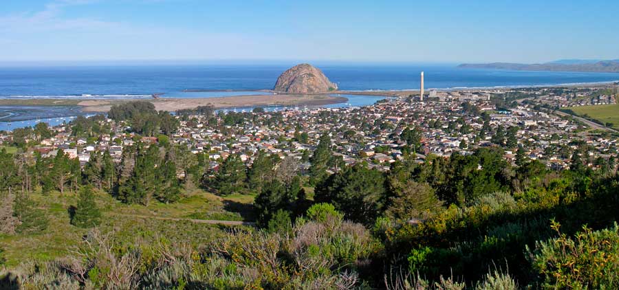
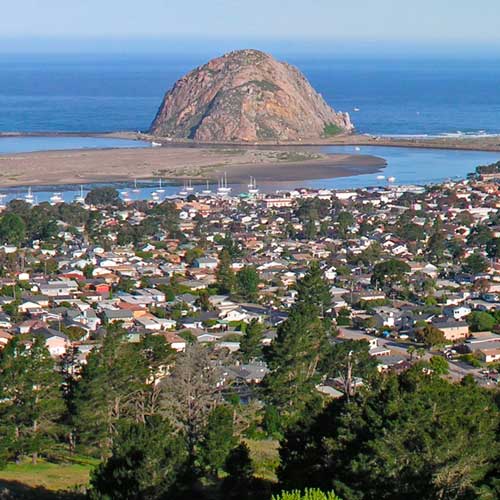
The prehistory of San Luis Obispo County is strongly influenced by the Chumash people who had significant settlement here at least as early as the Millingstone Horizon thousands of years before the present age. Important settlements existed, for example, in many coastal areas such as Morro Bay and Los Osos.
Mission San Luis Obispo de Tolosa was founded on September 1, 1772 in the area that is now the city of San Luis Obispo.
Mission San Luis Obispo de Tolosa was founded on September 1, 1772 in the area that is now the city of San Luis Obispo.
According to the U.S. Census Bureau, the county has a total area of 3,616 square miles (9,370 km2), of which 3,299 square miles (8,540 km2) is land and 317 square miles (820 km2) (8.8%) is water.
The 2010 United States Census reported that San Luis Obispo County had a population of 269,637. The racial makeup of San Luis Obispo County was 222,756 (82.6%) White, 5,550 (2.1%) African American, 2,536 (0.9%) Native American, 8,507 (3.2%) Asian (1.0% Filipino, 0.6% Chinese, 0.4% Japanese, 0.3% Indian, 0.3% Korean, 0.2% Vietnamese), 389 (0.1%) Pacific Islander, 19,786 (7.3%) from other races, and 10,113 (3.8%) from two or more races. Hispanic or Latino of any race were 55,973 persons (20.8%); 17.7% of San Luis Obispo County is Mexican, 0.3% Puerto Rican, and 0.2% Salvadoran.
San Luis Obispo County’s economy is primarily a service economy. Service jobs account for 38% of the County’s jobs, government jobs accounts for 20.7%, and manufacturing jobs represent 6% of the County’s jobs.
San Luis Obispo County, as a whole, leans toward the Republican Party in presidential and congressional elections; it has, however, become somewhat more Democratic during the 2000s and 2010s. In 2008, Barack Obama won the county with 51.2 percent of the vote. Prior to 2008, the last Democrat to win a majority in the county was Lyndon Johnson in 1964, although Bill Clinton won a plurality in 1992. In 2012, Obama again won the county, this time with a slim plurality of the vote.

